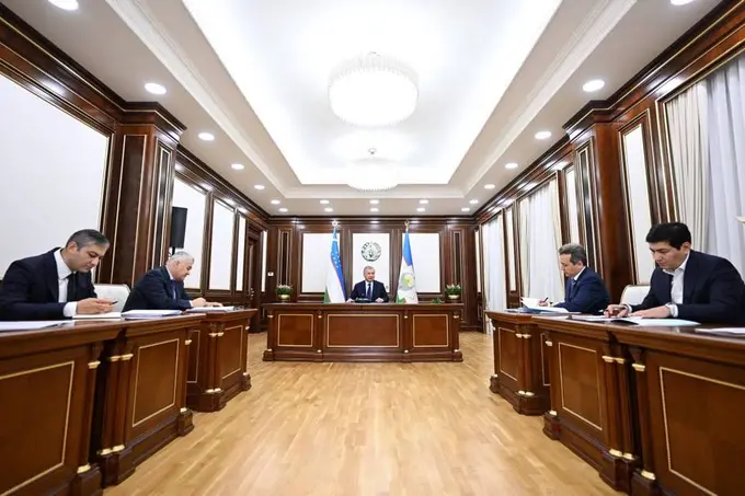
Over the past three years, the government purchased special aircraft, aerial cameras, and 112 drones to conduct large-scale topographic surveys in the cadastral sector. This technology has enabled precise electronic mapping of land plots and provided accurate records of their boundaries and periodic changes.
As part of the initiative, 425,000 hectares of the 1.2mn hectares of agricultural land in reserve have been distributed among 675,000 residents and farmers. The data collected has also helped reveal discrepancies in earlier land reports. For instance, investigations in the Khorezm region showed that while official reports listed 608,158 hectares, the actual figure was 618,432 hectares.
Based on similar studies across the country, proposals have been submitted to the Government Commission for the reclassification of more than 542,000 hectares of land in the Republic of Karakalpakstan, Samarkand, Surkhandarya, and Khorezm regions.
Officials note that the updated mapping data is being incorporated into national strategies for land use and management, providing a stronger foundation for agricultural development and efficient resource allocation.
Follow Daryo's official Instagram, LinkedIn, and Twitter pages to keep current on world news